Satellite Tracking for Vehicles in Remote Areas without Cellular Coverage through Telematics

Mining, telecommunications, agricultural companies, among many others, integrate a business operation that requires them to carry out their activities in remote areas without cellular coverage, representing a visibility problem for fleet management.
Satellite Tracking for Vehicles is a technological solution that companies that operate with fleets of vehicles in areas without cellular network coverage require constant and uninterrupted monitoring of the operation and performance of their vehicle units and the assigned operators.
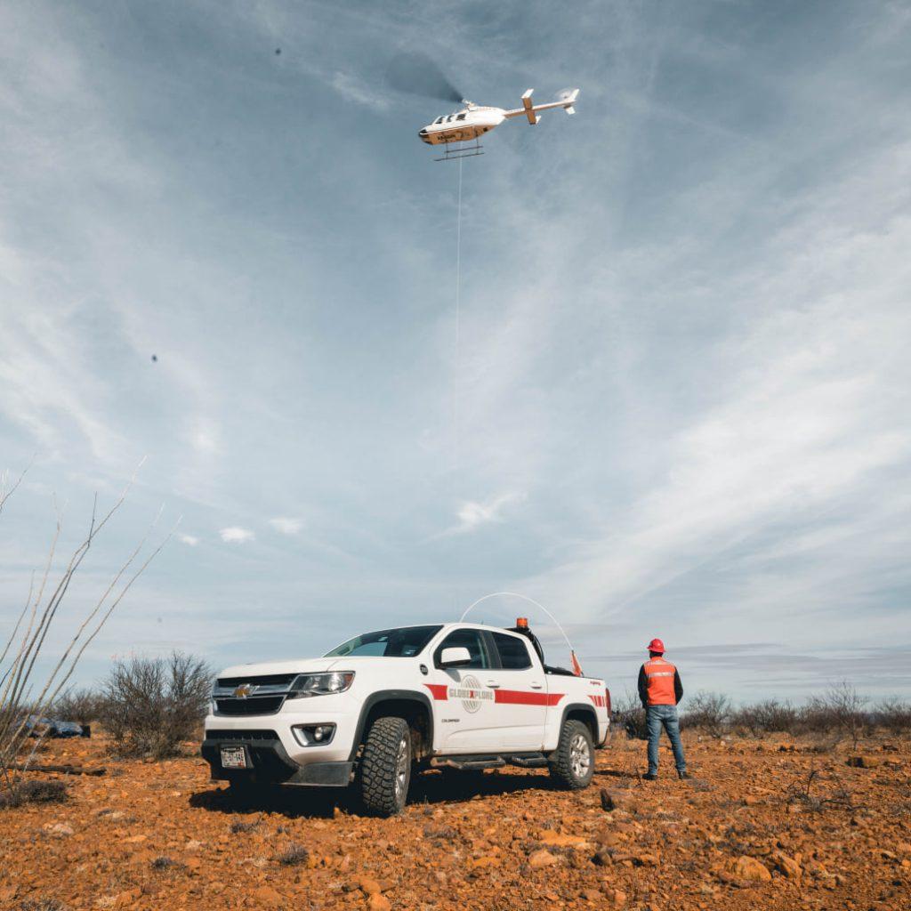
Cargo, utility and service vehicles that embark on operations in the high mountains and distant mining areas face a variety of challenges that, as a result of isolation, rise to situations of risk and poor performance that the organization can mitigate through the integration of a connectivity and satellite tracking solution for vehicles, which allows you to know information such as:

- When does the cellular network change to satellite?
- When do you go out of cellular network coverage?
- What is the geographical location of the vehicle?
- Where is an incident or emergency reported?
Mining, telecommunications, agricultural companies, among many others, integrate a business oBoost Satellite Tracking for Vehicles!
Didcom provides a Satellite Tracking solution for Vehicles, dedicated to companies that work in remote areas that allows them to receive fleet information through the satellite network, even when vehicles travel through areas without cellular network coverage, allowing the transmission of critical and essential information to optimize bandwidth.
The solution allows the incorporation of a panic button in the vehicle, so that drivers outside the coverage area can alert the company in case of emergency, speeding up the geolocation of the vehicle and the response of emergency services.
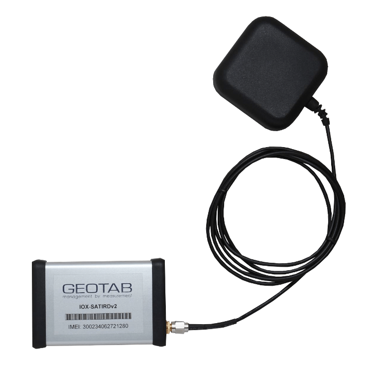


Features of the Satellite Tracking Solution
Location records, network change, and panic alerts are captured and transmitted in real time through the GO device, which will send all the information to the MyGeotab platform.
- Log on/off notification
- Location update every 15 minutes
- Panic button to notify emergencies
- Satellite network change notification
Telematics focused on Satellite Tracking for Vehicles!
At Didcom we help expand the visibility of the fleet and reinforce the security of vehicles that operate in isolated and remote areas where there is no cellular network coverage, to minimize the risks and poor habits that may be impacting safety, efficiency. and profitability of the business operation in the company.
Our solution provides a fundamental tool for mining, agricultural, construction, telecommunications companies, among other lines of business, that ship their vehicles to areas without coverage, helping them keep their fleet connected, visible and safe.
- Precise location of units
- Agile notification and response
- Habits and behavior monitoring
- Reinforcement of operational security
Are you interested in integrating the Satellite Tracking for Vehicles Solution? We can gladly help you!
Últimos Blogs
Últimas Noticias
Temas de interés

